.jpg)
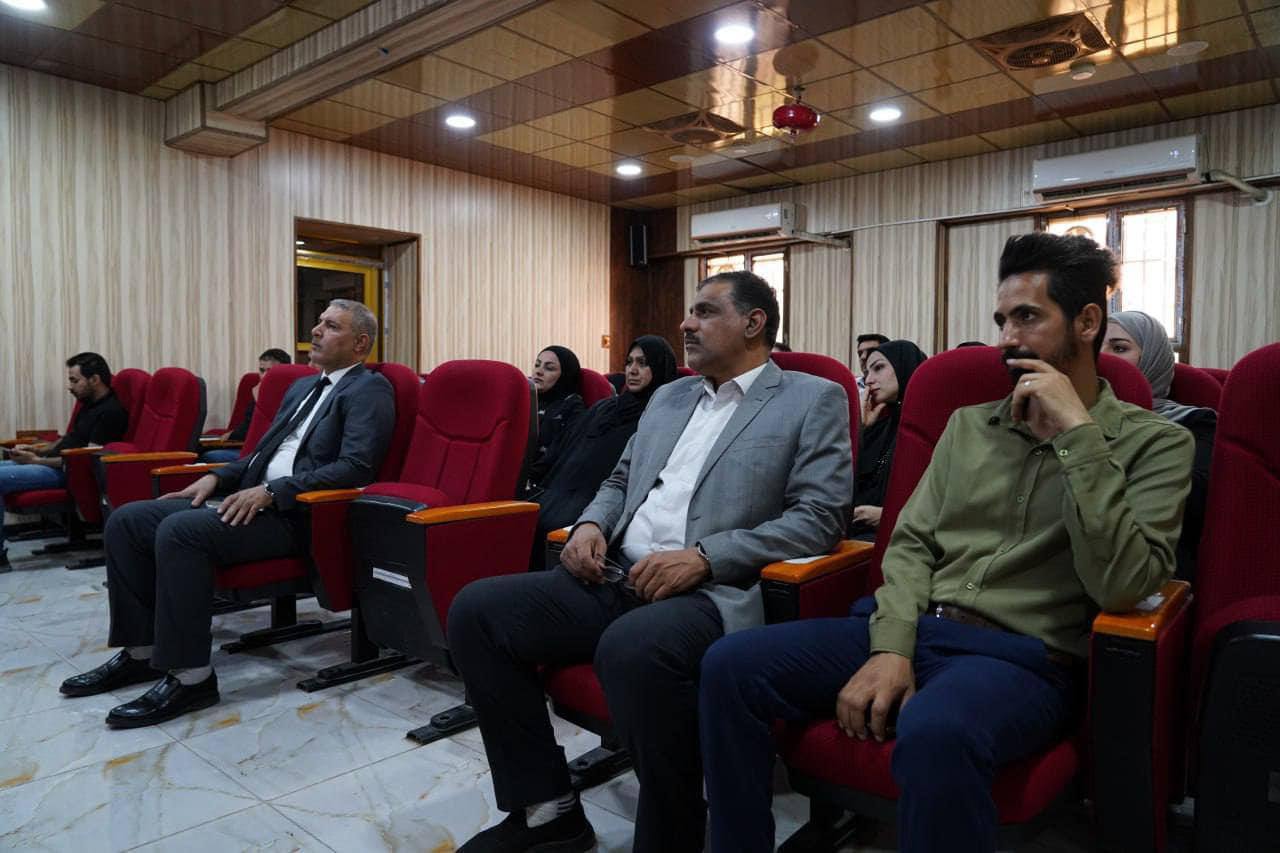
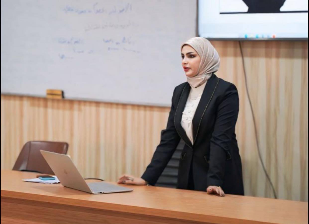
The Continuing Education Division and the Joint Center for Coordination and Monitoring for Risk and Crisis Management at Basra University for Oil and Gas, in cooperation with College of Industrial Management for Oil and Gas, organized a training course on "The Role of Geographic Information Systems (GIS) in Crisis Management". The course was launched on Sunday, August 11, under the patronage of the President of Basra University for Oil and Gas, Prof. Dr. Muhammad H. Al-Kaabi, and under the supervision of the Dean of College of Industrial Management for Oil and Gas, Prof. Dr. Sami O. Al-Tamimi. Assistant Lecturer Salwa H. Khalaf lectured in it. At the beginning of the course, she reviewed the most prominent crises, including the economic, social, epidemic, political, cultural and political crises. The researcher presented the most important uses of GIS in the field of monitoring and analyzing risks, planning, preparation, immediate response, communication, information management, evaluation, recovery, awareness and education. The researcher provided real-life examples of how to use information systems in crisis management, applying them to the Covid-19 crisis by identifying the locations of the virus' spread and identifying hot spots, as the best way to understand the spread of the Corona crisis is by knowing where the epidemic is growing and spread, where are the most vulnerable populations, where are the hospitals and medical services that can provide treatment and health care and where are the areas that most need the deployment of resources and health services? The use of GIS in emergency management and response includes creating epidemic risk maps, identifying, tracking and analyzing COVID-19 cases, monitoring its geographical spread, tracking health support and assistance sites, and creating infrastructure maps that will help in knowing preparedness, response and recovery from the crisis, and following up on support services from food and medical supplies in pharmacies and distributing them in a way that serves the neighborhoods in terms of population and their locations. Miss. Khalaf indicated that governments could benefit from that system by preparing for any future disasters and crises, including through identifying and assessing risks, planning for emergencies, simulating scenarios, managing resources, communicating and exchanging information, evaluating, improving, innovating and using modern technology, while pointing to the challenges, most notably the lack of updated and accurate data, the lack of skills and training on that system, digital challenges, environmental and geographical challenges, and finally legal and regulatory challenges.

